
Are you looking for a hike with a view over Lac de Serre-Ponçon, away from the crowded trails? In the Serre-Ponçon valleys to the south of the lake, there are still a few confidential itineraries offering spectacular panoramas between mountains, forests and turquoise waters.
Here's our selection of 5 ideas for lake view hikes in Serre-Ponçon, perfect for discovering wild landscapes and incredible views over the largest man-made lake in the Alps.


1 Le sommet du Piolit: the must-see summit of Serre-Ponçon
A panoramic hike near Gap
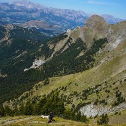
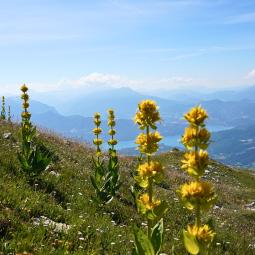
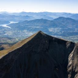
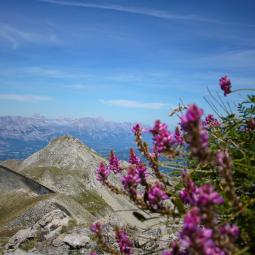
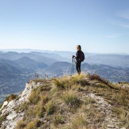
The summit of Piolit is undoubtedly one of the most beautiful hikes with a view of the Serre-Ponçon lake. Situated high above the Avance valley, this emblematic summit rises to an altitude of 2,464 metres and offers exceptional panoramic views over the southern part of the lake and the Écrins massif.
From the village of La Bâtie-Neuve, reach the Col de Moissière. After passing the maison forestière du Sapet, fork right onto a forest track. There's a parking lot a little further on. Lower vehicles can park further down the track.
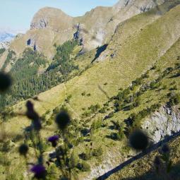
The hike begins in the shade of the magnificent Sapet forest, before gradually joining a line of panoramic ridges leading to the summit. The Piolit - Chabrières range is classified as a Natura 2000 site
Practical info for the Piolit hike
- Start: La Bâtie-Neuve - Col de Moissière
- Distance: 10 km
- Ascent: 763 m D+ (gradient)
- Type : Round trip
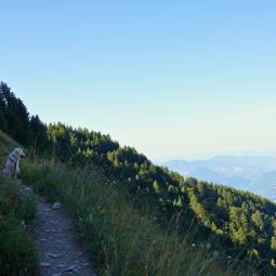
Youcan hike with a dog from the Forêt du Sapet. Herds and guard dogs can be found on the other route to the summit, in the Rouanne valley at Ancelle.
-
 © analogue production
 -
 © Justine Cochard
 -
 © Justine Cochard
 -
 © analogue production
 -
 © Justine Cochard
 -
 © Justine Cochard
 -
 © Analogue production
 -
 © Justine Cochard


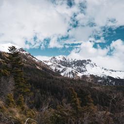
2 Serre l'Eyglier: an easy walk with a view of the lake
A lookout accessible to the whole family
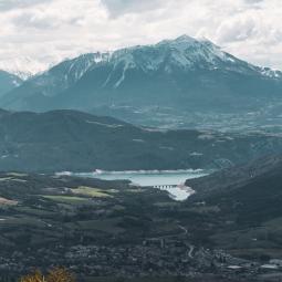
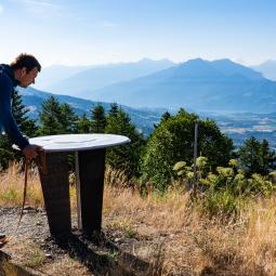
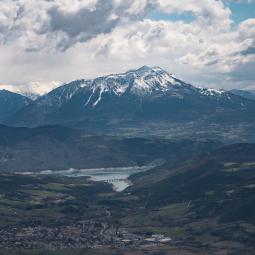
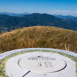
If you're looking for an easy hike with a view over Lac de Serre-Ponçon, the Serre l'Eyglier lookout is an excellent alternative.
This magnificent viewpoint features :
- an orientation table
- picnic areas
- a paragliding launch site with views over the Avance valley and lake
Practical info for the Piolit hike
2 possible itineraries
From the hamlet of Les Borels - La Bâtie-Neuve
- Distance: 15 km
- Ascent: 687 m D+ (gradient)
- A superb, more athletic and wilder loop
From Col de Moissière
- Distance: 6 km round trip
- Difference in altitude: 120 m D+ (gradient)
- Child-friendly and perfect for a picnic outing
Family tip
Just 5 minutes from the start, discover the Sapet forest house and its riddle walk:
"Charline, we've shrunk!"

-
 © justine cochard
 -
 © justine cochard
 -
 © justine cochard
 -
 © justine cochard
 -
 © justine cochard
 -
 © justine cochard
 -
 © justine cochard
 -
 © justine cochard


3 Mont Colombis: a breathtaking panorama between the Alps and Provence
A must-do hike above the lake
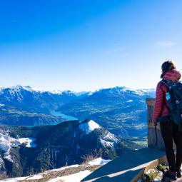
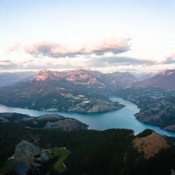
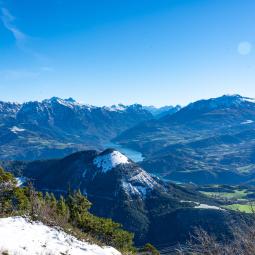
Perched at an altitude of 1,733 meters, Mont Colombis dominates Lac de Serre-Ponçon, offering a unique blend of Alpine and Provencal influences.
The route crosses the famous geological site of the Demoiselles Coiffées, a genuine natural curiosity of the Hautes-Alpes.
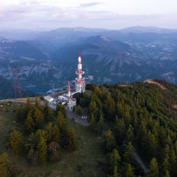
After pastures and antennae used for meteorological surveys in the Hautes-Alpes, the trail reaches a magnificent belvedere with spectacular views over the lake and the Durance valley.
Practical info on the Mont Colombis hike
- Herds of cows on alpine pastures
- Dogs only allowed on a leash
- Remember to close gates properly
- Start: village of Théus
- Distance: 15 km
- Ascent: 889 m D+ (gradient)
No-hike alternative
The summit can also be reached by road from the village of Théus, so you can enjoy the panorama without walking. The site is also well known for its paragliding area above Serre-Ponçon.
-
 © Analogue production
 -
 © analogue production
 -
 © justine cochard
 -
 © analogue production
 -
 © justine cochard
 -
 © analogue production
 -
 © quentin clavel


4. La crête de la Scie: a secret hike above the Durance river
A little-known hike overlooking the Serre-Ponçon dam
Still a little-known secret, the Crête de la Scie offers superb views of :
- the Espinasses compensation lake
- the Serre-Ponçon dam
- the south of the lake
The trail passes through a beautiful pine forest before quickly reaching the panoramic ridge. The site is classified NATURA 2000 on the Crête de la scie and montagne du Seymuit.
Practical info on the Crêtes de la Scie hike
- Start: hamlet of Champsaurs, Bréziers
- Distance: 12 km round trip
- Difference in altitude: 557 m D+
After-rando swimming tip
On the way back, take a break at Rochebrune to enjoy the 3 Lacs leisure park, ideal for a swim in the Durance.


5 The summit of La Viste: the most beautiful secret viewpoint over Serre-Ponçon
A confidential nugget above the lake
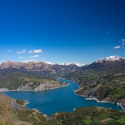
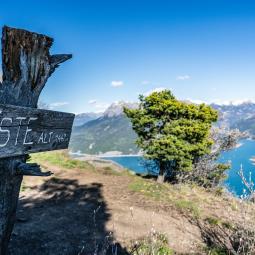
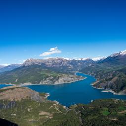
This is probably one of the most beautiful lake view spots in Serre-Ponçon.
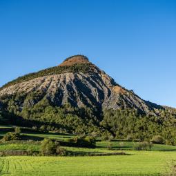
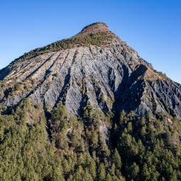
With its atypical shape reminiscent of a bird's nest, the summit of La Viste gives you no idea of the incredible panorama that awaits you at the top.
From the beautiful village of Rousset, you start out on a track that already offers a view of the Demoiselles Coiffées. The signposts then stop, but there are several well-marked paths to the summit:
- a steeper route to the right
- a second, more gradual route
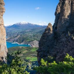
The short but sustained ascent takes you through a spectacular forest before reaching a promontory with an exceptional view of Lac de Serre-Ponçon.
Practical info on the Viste hike
- Start: Rousset-Serre-Ponçon
- Distance: 6 km round trip
- Elevation gain: 450 m D+ Aerial passage
Aerial passage Final access off trail markers. Hiking under your own responsibility
-
 © Justine Cochard
 -
 © Justine Cochard
 -
 © Justine Cochard
 -
 © Justine Cochard
 -
 © Justine Cochard
 -
 © Aurélia Payelle


Advice before setting off on a hike in the Serre Ponçon valleys
Before setting off :
- check the weather forecast
- bring enough water
- respect grazing areas and close fences
- keep your distance from herds and guard dogs
- Prepare your itinerary. Bring a map or plot your route on a hiking app
- Report a problem on a trail with SURICATE

Discover the Serre-Ponçon valleys


