Presentation
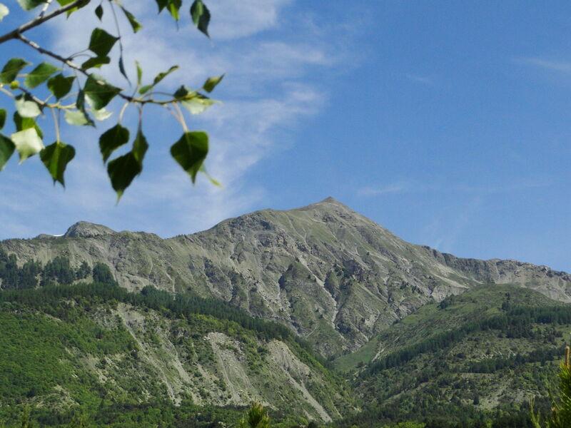
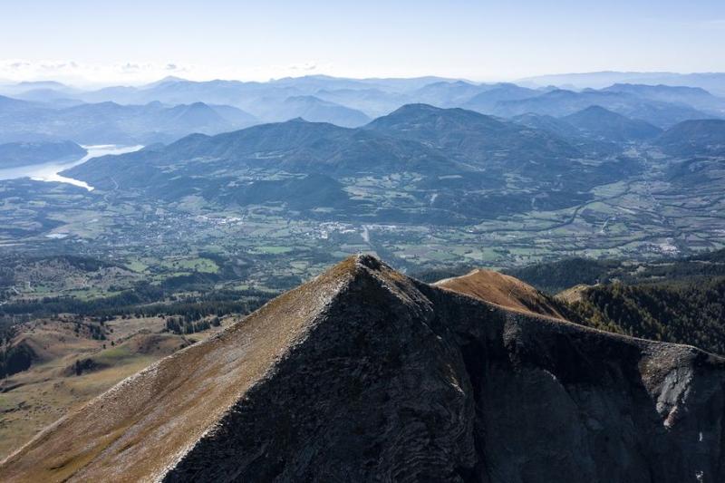
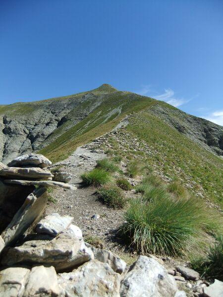
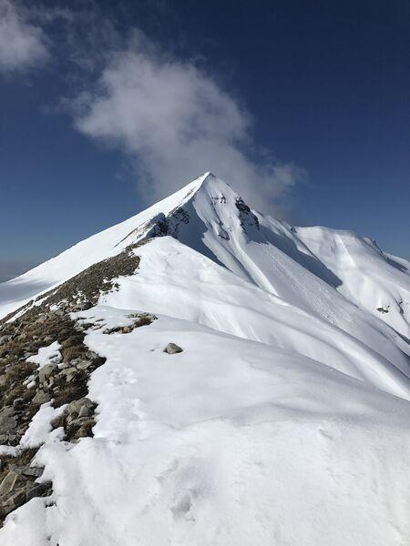
The Pic du Piolit is recognisable by its pointed tooth shape culminating at 2,464 m. This medium-sized mountain range is classified as Natura 2000, and links the Pic du Piolit (2,464 m) at La Bâtie-Neuve to the Aiguilles de Chabrières at Réallon (2,403 m).
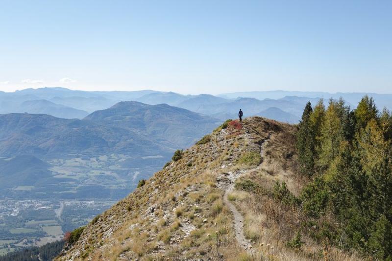
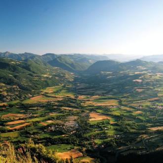
Its summit will reward you with a 360° panorama of the Serre-Ponçon lake, the Champsaur, the Écrins Massif... a 5D show! On its foothills, at La Bâtie-Neuve, the massif is home to the Sapet state forest, from which many hiking routes start. From the Maison forestière du Sapet, which is easily accessible, you can enjoy shaded picnic areas.
> By paraglider: FFVL take-off site / 800 m difference in altitude / Alt. 1 600 m / Level 2-3
From La Bâtie-Neuve, take the D 214 to the place called "les Borels". Turn right onto the D 614 for about 700 m, then take a small road on your left towards "les Clots". This road leads to the Sapet forestry road, which is accessible by car.
Follow it for about 4 km. You will eventually see on your left the hang-gliding springboard and the paragliding take-off.
> On foot :
Le Serre-L'Eyglier from La Bâtie-Neuve - 6h00 Round trip 15 km + 820 m. Start > On the D124, at the car park of the hamlet of Les Borels. Exceptional panorama of the Avance valley and the Serre-Ponçon lake.
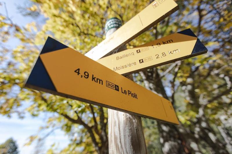
Le Pic du Piolit from La Bâtie-Neuve - 4h00 Round trip 10,5 km + 835 m. Start > at 1630 m at the altitude bridge
Take the D 214 towards the Col de Moissière. About 1250 m before the pass, after passing a forest house on the left, the "Route Forestière du Rioudon" is at the end of the bend. Park further on at the altitude bridge.
Opening period
All year round.
Subject to snow conditions.
Rates
Free access.
