Presentation
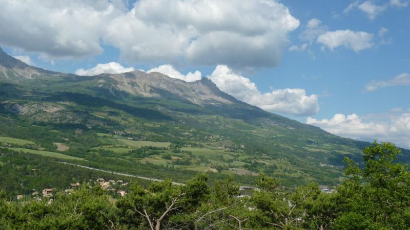
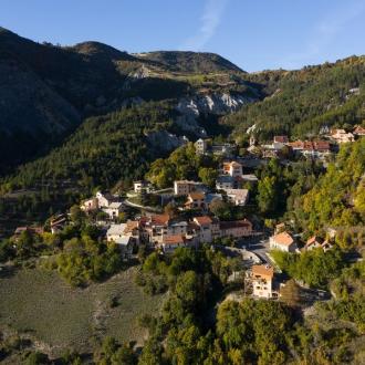
A lovely hamlet to hamlet circuit starting from the village of Montgardin, allowing you to admire sublime panoramas.
1. Departure : Leave the village in the direction of "Les Magres".
2. Only 200 metres further on, take the path down to the right. After 200 metres, the track becomes paved with a stream in the middle. When you reach the road, go straight on and cross the hamlet of Les Magres. At the end of the hamlet there is a crow's foot, take the road down to the right, towards Les Massots. VIEWPOINT: Beautiful view of the Aiguilles de Chabrières, the Col de la Gardette, the Col de Moissière and the Chapeau de Napoléon. The road quickly becomes a track and crosses the torrent of Combe Chabert whose beautiful riparian vegetation is composed of alders, ash trees and beeches. Leave the track on the right and continue to climb on the left. A carpet of celandine and strawberry plants welcomes the walker
3. Continue straight on for 100 metres then turn right onto a track to reach the ridge known as "Roche Longue". 300 metres further on, at the crow's feet, turn left onto a stony track. It runs along the ridge, before descending into the forest to reach the Hameau de Fontclaire. When you reach the road, turn right towards Montgardin
4. VIEWPOINT: Enjoy the clear view of the Dévoluy massif, the famous Céüse cliffs and the Pic de Bure. Turn left onto the road towards Montgardin, then 100 metres further on, take a path to the right. Again, the path crosses the marls with oaks, carlines, lavender and many butterflies. At the junction with the tarmac road, stay on the marl track on the left. Go along a field on the right and find a path that descends into the marl. At the intersection of the first track, continue left (straight ahead) to reach a dirt track at the bottom of the valley.
5. From this point, turn right on this wide track to reach the foot of the village of Montgardin. This section is shared with the GR 653D. It offers the opportunity to observe birds in the fields: black kites, white kites, buzzards, crows and many others. The track is a hunting reserve of the ACCA of Montgardin to preserve the wild fauna and flora on the banks of the Avance. Huge old ash trees dot the roadside as you arrive near Montgardin
6. Finally, finish the climb back to the starting point and car park, sometimes on the road, sometimes on winding paths. It allows you to observe the many species encountered during the loop. From cherry trees to oaks, beeches, brooms and larches. IGN map Gap n°3338ET and 3438ET - Embrun/Les Orres/Lac de Serre-Ponçon
This path is classified in the Plan Départemental des Itinéraires de Promenade et de Randonnée.
Opening period
All year round.
Subject to favorable weather.
Rates
Free access.


