Presentation
The second sporting itinerary to reach Mont Colombis and its breathtaking panorama, it follows the famous Crête de l'Echine de l'Âne, and alternates shady paths and sunny tracks!
Departure : car park at the last bend before the village of Théus
Caution : Walk in the torrent bed. Do not practice in stormy weather, as a flood can occur at any time!
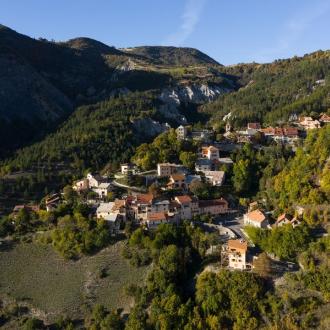
1. Take the forest path that crosses the Vallauria torrent. Soon after, there is a crow's foot. Take the right track, flat, towards Mont Colombis. Continue for 900 m on this pretty forest track. Take the time to look back and admire the perched village of Théus
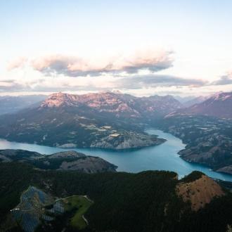
2. Turn left onto an ascending path in the undergrowth. This gradually leads to the Serre Giraud mountain pastures. From here, views open up over the Durance valley and the Blanche mountain range. Cross a stone building and continue the ascent by the track towards the summit, to reach the Échine de l'âne
3. Leave the track and take a stony path along the ridge. In the background is the vast fruit-bearing plain of the Durance. As you climb, the views to the east and west open up, offering the Dévoluy, the Monges, the Blanche and the Ubaye for your viewing pleasure. Continue on this path to the top of Mont Colombis. The free flight take-off area indicates the end of the ascent. Nevertheless, continue to the antennas
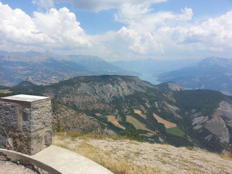
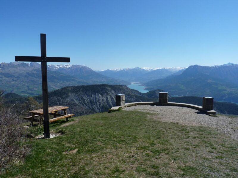
4. Take the road to the right, to discover the fabulous VIEW POINT from the summit.
5. After a well-deserved break, return to the road. Turn right at the antennae, still on the road, and begin the descent.
6. Leave the road to plunge into the Vallauria ravine and discover the ballroom of the Demoiselles coiffées from the inside (POINT DE VUE). Numerous structures have been created by man to try to tame the torrent. Between the pines, the great ladies of earth and stone rise up. The path goes between the right and left banks of the torrent, crossing it several times. Eventually it leads to a track, which takes you back to the very first crossroads. From there, turn right to find the starting car park.
Opening period
Open every day.
Subject to favorable weather.
Rates
Free access.


