Presentation
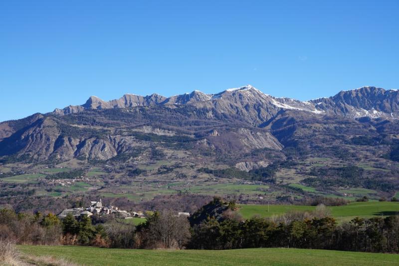
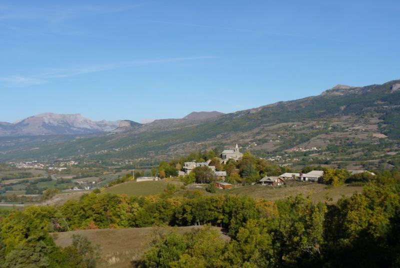
A route rich in diversity, alternating forest paths, agricultural tracks and marlstone crossings. The numerous panoramas on the Piolit, the needles of Chabrières, the Morgon, the Colombis and Ceüse enhance this beautiful walk.
Departure and recommended parking: at the washhouse, on the right as you enter the village opposite the Montgardin town hall
1. Leave the village in the direction of "Les Magres"
2. Only 200 metres further on, take the ascending path on the right. When you reach the road, go straight on and cross the hamlet of Les Magres. At the end of the hamlet, there is a crow's foot, take the road down to the right, towards Les Massots. This road quickly becomes a track. Beautiful view of the Aiguilles de Chabrières, the Col de la Gardette, the Col de Moissières and the Chapeau de Napoléon.
3. When you arrive at Les Massots, follow the road on the left in the direction of "Les Marais" for about fifty metres, then leave it in favour of the track which goes straight ahead. As soon as possible, turn left. Fork left on the ascending track, keeping the direction of Les Marais and continue on a farm track that crosses the fields. Follow the yellow markings. The track runs through fields and crosses some undergrowth. Shortly before reaching the road, leave the farm track and take a path on the right. This leads to a road
4. Cross the road and go straight on towards Le Petit Bois on a farm track through the fields.
5. At the next intersection, go left on the forest track and then continue the ascent, keeping the direction of the Petit Bois. At the crow's feet, continue on the left-hand track. Gradually leave the fields for the forest and finally enjoy its shade. Continue for a few hundred metres and leave the track to join a forest path on the right
6. Leave this path to take a downhill path on the right towards Montgardin. The path, suspended in places, offers a superb view of the Caturige basin and the mountains above. Join the tarmac road. Take it on the right, in the direction of the descent, until you reach the start of the route.
>> Recommendations:
Crossing pastures and undergrowth: respect the yellow markings carefully! In addition, because of the many herds in the pastures, make sure to close the gates and keep the dogs on a lead.
Opening period
All year round.
Subject to favorable snow and weather conditions.
Rates
Free access.


