Presentation
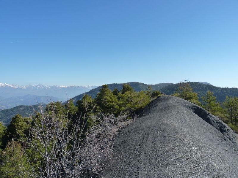
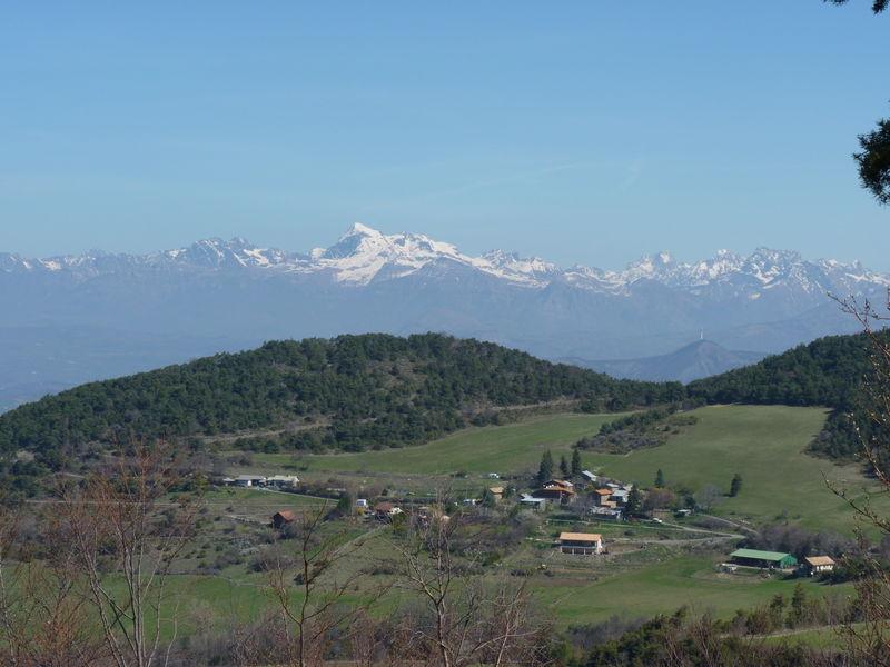
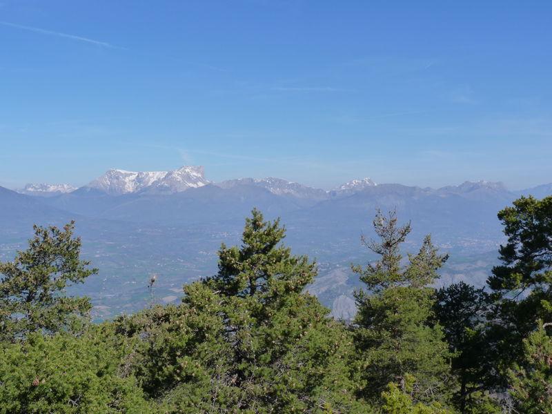
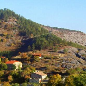
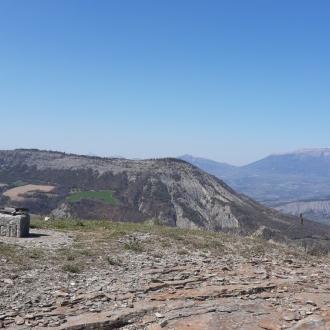
Without doubt one of the most beautiful panoramas of the area: Buëch, Dévoluy and Ecrins are offered to the eyes of the contemplative, overhanging the country of Gapençais.
1. From the car park, go up towards Les Garcins for 200 metres. In the middle of the hamlet, turn right onto a road that quickly becomes a track. 150 metres further on, reach the next intersection. Turn left onto the track towards Clastre. Follow it to the next junction
2. Keep heading towards Clastre, Serre de Malamort along a nice uphill path on the right. This section of the route is shared with the GR 653D and the paths to Santiago de Compostela. The climb is in the undergrowth but offers magnificent windows on the surrounding landscapes. Don't hesitate to look behind you throughout the ascent
3. The path leads to an intersection of forest tracks. Leave the GR653D and the paths to Santiago de Compostela to continue on the track to the right towards the Serre de Malamort
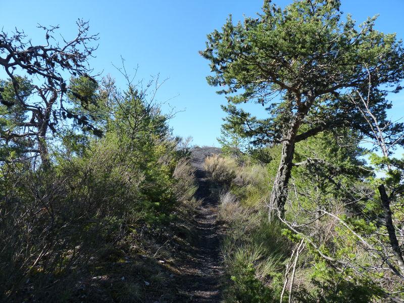
4. Be careful not to miss the junction, 100 metres further on, for the rest of the route. Leave the forest track to take a path on the left, very steep for the first 3 metres, going into the undergrowth. Continue on the ridge of the marlstone. Follow the aerial paths, offering a splendid view of the Gapençais basin and its emblematic mountains, such as Céüse, the Pic de Bure, but also the Vieux Chaillol and the Piolit chain at Chabrières.
5. Leave the ridge line and turn right. Find the north side of the Serre de Malamort. Observe a green forest, typical of mid-mountain areas. The path, which is not very well marked, soon runs alongside clearings and pasture areas. Keep to the right of the clearings, along the ravine, to reach a farm track
6. Cross the gully on this track and follow it for about 350 metres before it disappears. Continue downhill along the fields on the right. Keep your eyes peeled, there is often wildlife in this area! Cross the first grove of broadleaf trees
7. Take a path on the left that leads under the vegetation cover. Follow this section back to the original track. Turn left once you reach the track, so as to find the starting car park.
Opening period
All year round.
Subject to favorable weather.
Rates
Free access.

