Presentation
A pretty loop, a varied and playful route, between the Rambaud plateau and the Gapençais basin.
Departure and recommended parking: Mairie de Rambaud
1. From the town hall car park, take the road that leads to the village of Jarjayes for about 200m. Turn left at the first intersection towards the Serre de l'Aigle. From the very first kilometres, the single track is very playful: natural upward bends, steps, jumps, everything is there!
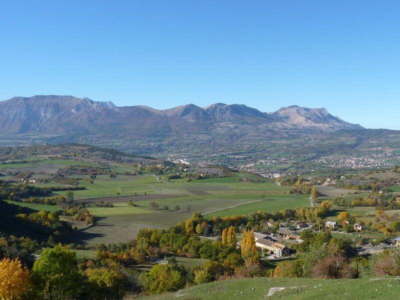
2. This single track becomes a farm track allowing the crossing of the Rambaud plateau. This portion, common to the GR653D allows to reach the foot of the Saint-Mens hill. Climb the latter and enjoy the view of the town of Gap and the surrounding peaks
3. A path in the undergrowth leads to the town centre
4. Once on the main road, turn left towards Jarjayes. Leave the road 400m further on and take a path that goes up on the left. An alternating path and road leads to the hamlet of Lareton
5. At the entrance to the hamlet, leave the main road for a secondary road that goes down to the right. Follow it for 200m before turning right again, to go up to the hamlet of Les Emeyères.
6. Cross the hamlet. As the metres go by, the climb becomes harder, first on tarmac, then quickly on a forest track.
7. Enjoy a well-earned descent into the undergrowth. At the bottom, turn right onto the road that leads up towards Rambaud
8. Leave it about 500 metres further on to take a path rising to the right. This path winds its way up to the hamlet of Bellevue. From there, let yourself roll gently along the road towards Rambaud to get back to the starting point.
>> Shared itinerary:
Attention, some portions of this itinerary are shared with other hiking modes, courtesy rules are in force! Keep in mind the priorities, be careful of yourself and others.
>> All the information on Alpesrando.net
http://www.alpesrando.net/vtt00/les-aigles-vtt00/
Opening period
All year round.
Subject to favorable weather.
Rates
Free access.
