Presentation
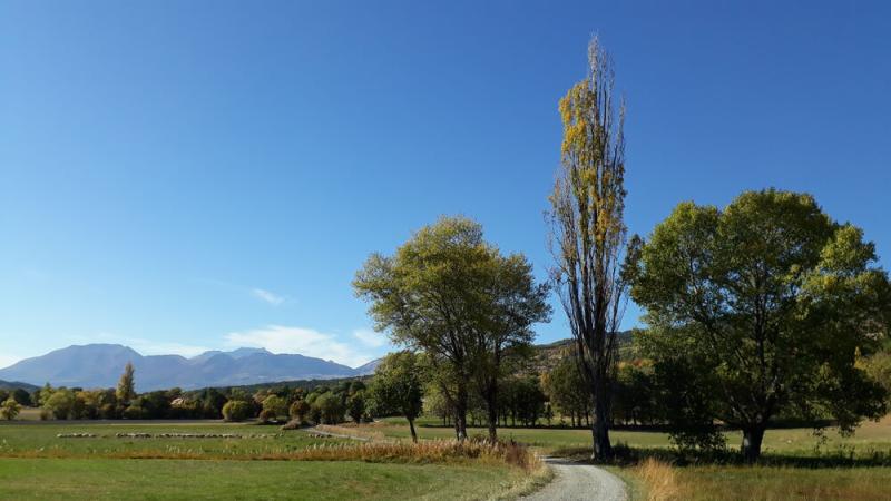
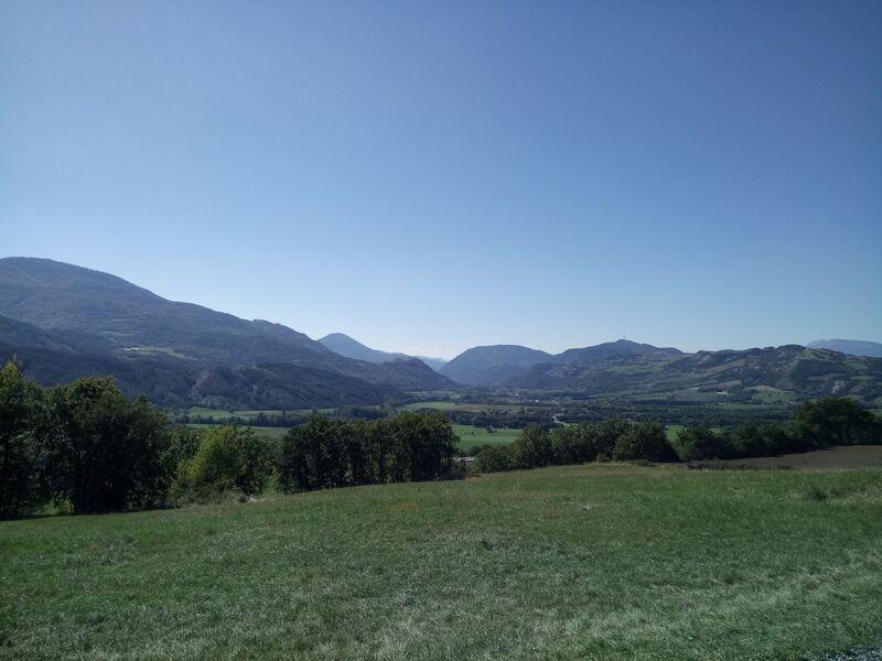
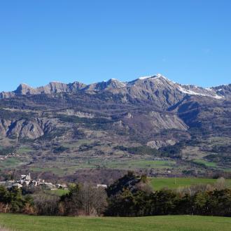
Between torrents and pastures, this itinerary offers magnificent panoramas of the Chapeau deNapoléon, the Grand Morgon and the cliffs of Céüse.
Start and parking: at the Saruchet industrial estate, go up into the housing estate at the foot of the sports course.
Specificity: very little shade, to be avoided in very hot weather
1. Take the sports trail on the left. The climb is on a pretty path, in the shade of the pines, not far from the torrent of Dévezet. Join the tarmac road and continue on it on the left, in the direction of the climb. Go past the hamlet of Les Collets
2. Shortly after the hamlet, at the top of a steep hill, there is a gravelled track which goes off to the left, flat. Leave the road to take this track. Don't hesitate to turn around to enjoy a magnificent panorama of the Caturige basin, the Grand Morgon and the Serre-Ponçon lake. Heading south, the Alpes de Haute-Provence, the Grande and Petite Séolane and the Batterie de Dormillouse come into view. The track runs quietly through the fields and pastures of Les Blaches. Continue straight on towards Les Césaris. On the right stands Napoleon's hat. On the left, the plain and the Avance valley can be seen
3. At the crow's feet, leave the right-hand track leading to Les Césaris and follow the direction of La Montgardine on the left.
4. At the next intersection, go down towards Le Saruchet on the track on the left. This will take you to the village of La Montgardine and its school
5. Do not cross the national road, but continue on the small tarmac road on the left, heading north. Pass under the railway line and glide through the fields until you reach the Saruchet.
6. At the entrance to the housing estate, leave the road leading up on the left and continue to the right, downhill. At the next intersection, turn left and easily reach the starting point by the road.
Opening period
All year round.
Subject to favorable weather.
Rates
Free access.


