Presentation
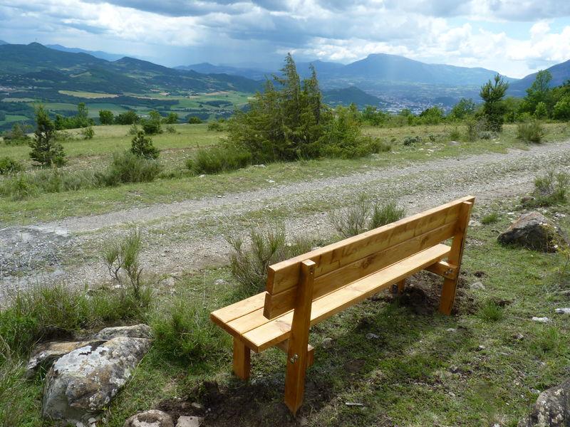
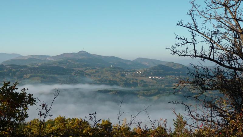
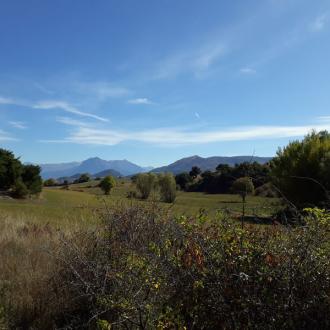
Diversity is the key word to describe this itinerary: forests, pastures, wide tracks and steep paths offer views of the Gapençais basin, the Charance and Céüse mountains, Mont Colombis and Napoleon's hat.
Departure and recommended parking: Lotissement des Casses
Go up into the Casses-Vivert housing estate to reach the car park, the starting point of the hike.
1. Take the uphill track, following the signs for Montreviol. This 2km-long trail twists and turns, giving you a bird's eye view of the Gapençais area and an ideal panorama of Mont Colombis and Ceüse. It continues to climb until it reaches the water reservoir
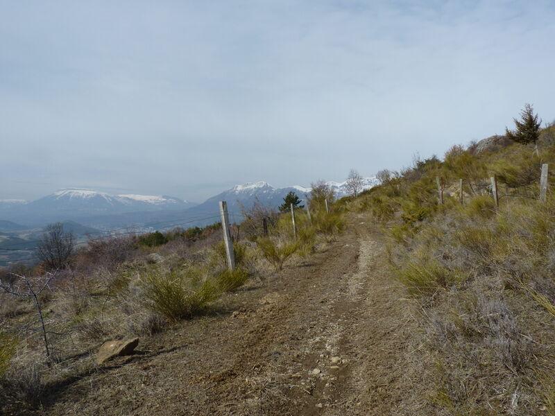
2. Continue along the track towards Montreviol. From here, the route runs along the hillside. The track gradually becomes a path before turning into a woodland trail. It then crosses pastures and offers numerous views of the Grand Gapençais valley and the Puy Maurel and Mont Colombis mountains
3. On reaching the outskirts of the hamlet of Montreviol, descend 10m towards the Ravin de Fauvret and continue left on the track.
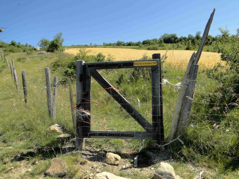
4. After about 200m, leave this track and fork right onto a path leading down through the fields. Follow the signs for La Bâtie-Neuve through the pastures and along the Fauvret ravine. After the gates, the descent becomes steeper until you reach the route de Manse. This is a grazed area, and the path tends to change as the cattle move past. Join the Col de Manse road
5. Follow this road to the left for about 300 m.
6. Leave the road by taking the track to the left of the main road and follow the signs for Les Casses. Start climbing through pastures and pine trees. After the first gate, the path widens gently. Go through a second gate where the path narrows into a footpath. Cross a stream to reach the 3rd gate leading above the Les Casses housing estate and return to the starting point. In addition, due to the large number of herds grazing, be sure to close gates and keep dogs on a lead.
>> All the information on Alpesrando.net
https://alpesrando.net/trek/17962-Montreviol
Opening period
All year round.
Subject to favorable weather.
Rates
Free access.
